I continued my progress southwards along the Wales Coast path last week with a walk from Fairbourne to Llywyngwril. I had originally planned to walk from Morfa Mawddach station but missed my train due to Google Maps underestimating my journey time (thankyou Mr Google!). I had also skipped the section from Tal y Bont to Barmouth because it largely runs on the pavement beside the main road.
 |
| My GPS track for the day. The route was mostly very easy to follow with a few exceptions at the start near Friog. My total distance was only about 5 to 6 miles as I was worried about getting a public transport connection back to my car. |
I started out by parking in the free car park next to Fairbourne Rail Station. I headed east out of town past the church.
 |
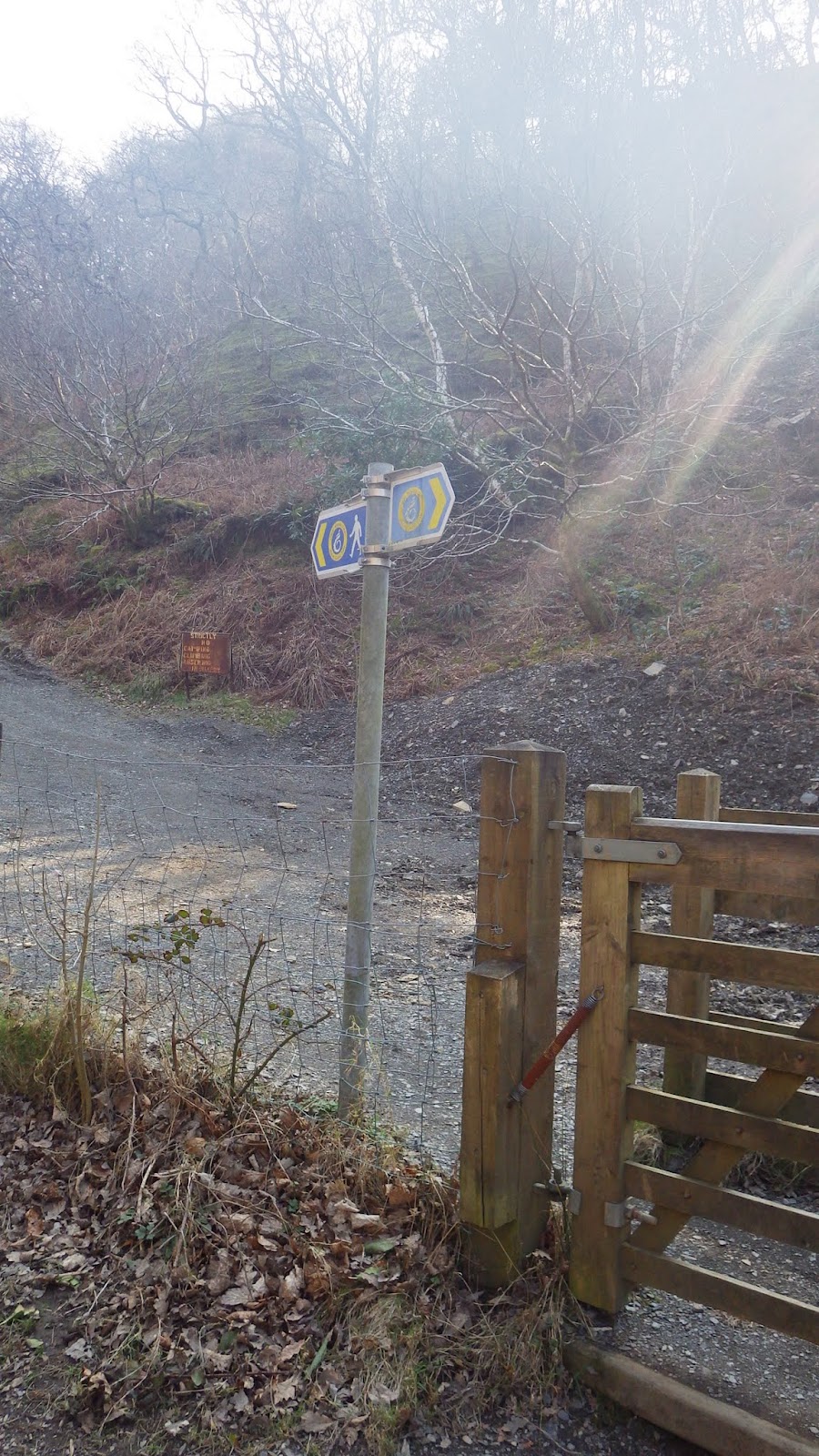
| The route could actually do with more signage here, You are supposed to turn left off the main road - I only knew to do this because I had a map. |
 |
| Although there is a footpath sign here on this gate by the primary school, it's not specifically a WCP sign. |
 |
| Even though I thought I was going in the right direction anyway, it was a relief to find a gate with the WCP sign. |
 |
| Here was a point where I was a little confused. After passing through a farmyard, the owner pointed me down this track to the floor of the little valley which has a WCP roundel on the gate. However, the map shows the route going in the opposite direction further inland. Perhaps I missed a turning? After getting to the bottom of this drive I came to a little lane, and not seeing any signs I continued west back towards the main road. |
 |
| Eventually I came to this sign which pointed me back the way I came. I walked past the end of the drive from earlier and continued inland. |
 |
| Thankfully I soon came to this sign and was back on track. |
 |
There seems to be a newly laid surface that takes you up the other side of the valley. I have to say it's really steep! It certainly gave my hamstrings a workout.
|
 |
| The ruins of some of the old mine workings - surrounded by trees as they are they're strangely aesthetically pleasing, like a scene from a Lord of the Rings film. |
|
 |
| It's a nice change to see some wooded hills on the route. |
 |
| The view back to the coast, with the farmyard I passed through earlier and Fairbourne beyond. |
 |
| Another punishing climb! |
 |
| Quite a lush growth of epiphytic ferns on this tree - usually a sign of unpolluted air. |
 |
| A wooden bridge over a brisk little waterfall. |
 |
| This tree grown right across the path, so you have to be reasonably nimble to get around it. |
 |
| A view to Snowdonia inland. |
 |
| Approaching an isolated farmhouse. |
 |
| Barmouth in the distance. |
 |
| At one point the path takes a hairpin bend and runs alongside a conifer plantation. Not the most attractive sort of woodland, but after climbing up so far I was glad of the shade, even in March. |
 |
| There were quite a few standing stones up here. I passed one couple waving dowsing rods over them. I'm clearly not on the right "wavelength" to understand that sort of thing. |
 |
| Another of the stones. Perhaps they were guide-stones for shepherds during storms or fog? |
 |
| I think this kind of variation in scenery is a real asset for the Wales Coast Path. |
 |
| Somewhere down there was my car. |
 |
| Not a bad spot to stop for lunch. At the top of the climb you come to a little open plateau area. |
 |
| The route then starts to descend to Llwyngwril. |
 |
| There were quite a lot of ruined cottages around. |
 |
| Llwyngwril in the distance. |
 |
| The descent was quite steep in places, and this section had a lot of water running down it. |
 |
| The River Gwril as it runs through the village. |
 |
| St Celynnin Church from the outside. |
 |
| It didn't seem to be a terribly old church, but it had a nice stained glass window. |
Not far from the church there was a bus stop outside the school which I used to get back to Fairbourne. I was lucky to arrive at a good time to catch it as there aren't many per day. It was a number 28 bus if you are planning a similar walk -
timetable here. There is also a rail connection.
All in all it was a very enjoyable little walk, with a nice change of scenery from beaches and wetlands.


No comments:
Post a Comment